The quick answer
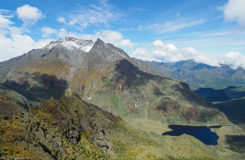
The Rwenzori Mountains National Park was inscribed by UNESCO in 1994 and covers 99,600 hectares. It contains glaciers and snow-capped peaks a few kilometers from the equator, and the third highest mountain in Africa, which UNESCO records at 5,109 m, after Kilimanjaro and Mount Kenya.
Around seventy percent of the park lies above 2,500 m, which gives it a far larger alpine area than either of the two higher mountains.
The Mountains of the Moon
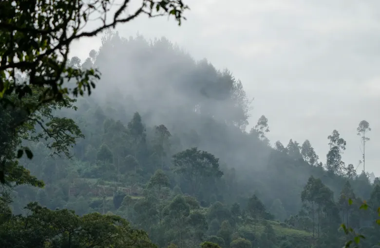
UNESCO uses the phrase itself: the Rwenzoris are the legendary Mountains of the Moon, a name reflecting the mist that shrouds a massif rising steeply above the Albertine Rift. The classical geographers placed the source of the Nile in mountains of that name long before anyone from outside the region saw these.
They were not wrong to connect the two. UNESCO records the Rwenzori as the highest and most permanent sources of the River Nile and a vital water catchment, with fast-flowing rivers and waterfalls throughout.
The vegetation, which is the strangest thing here
The park is known for alpine flora including many species endemic to the Albertine Rift, among them giant heathers, groundsels and lobelias. Plants that are modest herbs elsewhere grow here to improbable size. Walking through it does not feel like walking through anywhere else on earth, and it is the reason people who have climbed higher mountains still talk about this one.
What trekking here demands
This is a mountaineering environment, not a safari with a walk attached. Multi-day circuits involve sustained altitude, persistent wet, deep mud, and cold. Reaching the glaciated summits requires technical skill and equipment. Lower circuits are achievable for fit walkers without technical experience, and still hard.
- Altitude sickness is a genuine risk here. The FCDO names altitude as a risk in parts of Uganda, and this is the part.
- Book through an operator using park-authorized guides and porters.
- Budget more days than the distance suggests. The ground is slow.
- Assume you will be wet, and see Uganda Packing List.
Where it sits, and one thing to check
The park runs along Uganda's western border and UNESCO notes that it is contiguous with Virunga National Park in the Democratic Republic of the Congo. Conditions on the far side of that border have been unstable, and both the US and UK governments comment on the region. Check current advice for the specific area of your trek before committing, and read Uganda Travel Safety Guide.
Who this is for
If your Uganda trip is built around gorillas, the Rwenzori is not an add-on you fit in around it. It is a separate expedition with its own preparation and its own fitness requirement. If you want the mountains without the multi-day commitment, day walks in the foothills give you the forest, the rivers and the views without the altitude.
Sources
- UNESCO World Heritage Centre: the inscription of Rwenzori Mountains National Park. Accessed 14 September 2026.
- UNESCO World Heritage Centre: Uganda’s State Party record and its three inscribed properties. Accessed 14 September 2026.
- UK Foreign, Commonwealth & Development Office: Uganda safety and security: terrorism, the political situation, crime, road travel and local laws. Accessed 14 September 2026.
Other Articles
Uganda Packing List
Uganda Travel Safety Guide