What it is
The Rainforests of the Atsinanana are a serial World Heritage property of six national parks along the eastern escarpment of Madagascar, inscribed in 2007. The six components are:
- Marojejy
- Masoala
- Zahamena
- Ranomafana
- Andringitra
- Andohahela
"Atsinanana" means east. The property runs most of the length of the island's eastern side.
Why it was inscribed
UNESCO's statement of Outstanding Universal Value is about survival and endemism. It describes the property as containing globally outstanding biodiversity with an exceptional proportion of endemic species, and puts the level of endemism at approximately 80 to 90 percent for all groups, with endemic families and genera common.
Under criterion (ix) it describes these as relict forests, largely associated with steeper terrain along the eastern escarpment and mountains, and says the protected areas have become critically important for maintaining the ecological processes on which Madagascar's biodiversity depends. That word, relict, carries the point: these are the survivors of a forest that once ran much further.
⚠ The danger listing ended on 9 July 2025
This is the fact most secondary sources still have wrong, so it is worth stating precisely.
The property was placed on the List of World Heritage in Danger in 2010, after illegal logging, trafficking in precious woods and deforestation that damaged key species including lemurs. On 9 July 2025 the World Heritage Committee, meeting in Paris, removed it from that list, alongside Abu Mena in Egypt and one property in Libya.
UNESCO's own account of what changed is specific: an action plan developed and implemented by Madagascar with international support, robust management plans, control of ebony and rosewood felling, satellite surveillance and local patrols. It records that 63 percent of areas of forest cover loss have been restored, that illegal logging and trafficking in precious wood have been halted, and that lemur poaching has reached its lowest level in ten years.
None of Madagascar's three World Heritage properties is currently on the Danger List. If you read otherwise, check the date on what you are reading.
Which of the six you can realistically visit
These are not six equally accessible parks, and an honest guide says so.
- Ranomafana is the one most visitors reach: montane rainforest in the southeast, well organized for guided walks, and the easiest introduction to the property. Damp, steep and dense, with night walks as well as day.
- Andringitra is high, dramatic and a genuine trekking destination rather than a day visit.
- Masoala is remote, large, and usually reached by boat from Maroantsetra. It is also where the rainforest meets the sea, which is its particular quality.
- Marojejy is a serious multi-day trek in the northeast, and the classic reason to do it is the silky sifaka.
- Zahamena and Andohahela are the least visited and need real planning.
⚠ One common confusion is worth clearing up: Andasibe-Mantadia, the park most first-time visitors go to for indri, is not one of the six components. It is an excellent park and it is not part of this inscription.
Getting there, and the advice that applies
Several components sit in the south and southeast, where the FCDO's regional advice is specific: the security situation in the southern triangle between Ihosy, Toliara and Fort Dauphin remains tense, risks are greater at night, roads are in poor condition, and it advises using a recognized operator. It names attacks near Isalo National Park and advises traveling to Fort Dauphin by air.
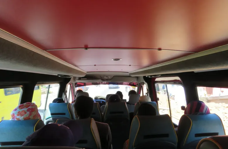
Its general advice applies throughout: armed robberies on main roads are frequent, particularly at night; drive in convoy where possible; and it advises against using multi-passenger taxi vans. See Getting Around Madagascar and Madagascar Travel Safety Guide.
When to go, and what to expect underfoot
Rainforest is wet by definition and the eastern side of Madagascar is the wettest part of the island. September to November is generally the most comfortable window; the hot months are the wettest and the most alive. Trails are steep, muddy and rooted. Leeches are normal after rain and are harmless.
Bring a real rain layer, boots you do not mind ruining, and a torch for night walks. See Madagascar Packing List and Madagascar Weather Guide.
Sources
- UNESCO World Heritage Centre: the inscription of the Rainforests of the Atsinanana and its statement of Outstanding Universal Value. Accessed 14 September 2026.
- UNESCO World Heritage Centre: the six component national parks of the Rainforests of the Atsinanana. Accessed 14 September 2026.
- UNESCO World Heritage Centre: the removal of the Rainforests of the Atsinanana from the List of World Heritage in Danger on 9 July 2025. Accessed 14 September 2026.
- UNESCO World Heritage Centre: Madagascar’s State Party record and its three inscribed properties. Accessed 14 September 2026.
- UK Foreign, Commonwealth & Development Office: Madagascar regional risks, region by region, including the named roads and the southern triangle. Accessed 14 September 2026.
Other Articles
Madagascar Weather Guide
Madagascar Packing List