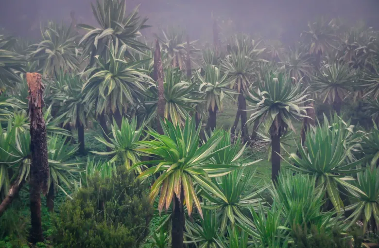
The quick answer
Ethiopia sits in the tropics and spends much of the year being cool. The reason is altitude. Addis Ababa stands at 2,400 m, which is high enough to change everything a visitor expects from a country at this latitude. Days are mild, nights are genuinely cold, and the sun at that height burns faster than it feels like it should.
The country then divides into a highland plateau where most people live and most visitors go, and a set of lowlands and rift valley floors that behave completely differently.
The rains, which are the real seasons
Ethiopians reckon the year by rain rather than by temperature, and so should you.
The big rains
Roughly mid June to mid September. This is the heavy, sustained rainfall that fills the rivers, and it is what the Blue Nile Falls looks like in the photograph at the top of this page. It is also when unpaved roads become the limiting factor on any itinerary, when internal flights are most likely to be disrupted, and when landscape photography is at its most dramatic and least reliable.
The small rains
Roughly February to April, lighter and much less predictable from year to year. They can pass almost unnoticed or they can interrupt a week.
The dry months
Roughly October to January. Skies clear, the highlands are green from the big rains that have just ended, and the roads are at their best. This is the window most itineraries are built around, and Best Time to Visit Ethiopia goes through what else is happening then.
Cold is the thing people fail to pack for
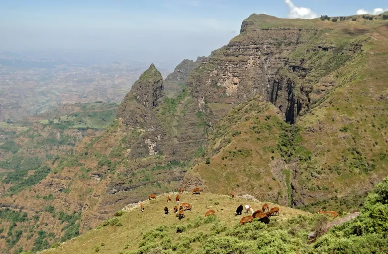
Highland nights drop sharply once the sun goes down, and buildings are not generally heated. In the mountains it is colder again. The escarpment country of the north and the high moorland of the Bale and Simien massifs can be near freezing before dawn, and the UNESCO record for Simien describes precipices dropping some 1,500 m, which gives a sense of how much altitude a single day's travel can cover.
See Ethiopia Packing List. The short version is layers, and a real jacket rather than a fleece.
The lowlands are a different country
The Danakil Depression, in the northeast, is one of the hottest inhabited places on earth and sits below sea level. The rift valley lakes, the Omo and the Gambella lowlands are all hot, and the difference between a highland morning and a lowland afternoon on the same day is extreme.
Note that the Danakil is in the Afar region and the Omo valley is in the south near the Kenyan and South Sudanese borders, and that both governments restrict parts of both. Read Ethiopia Travel Safety Guide before planning around either; among other things, the FCDO and the US State Department both advise against all travel to several regions outright.
Weather and health are the same subject here
This is the part of a weather guide that actually changes decisions.
- Malaria follows altitude, and the two authorities draw the line differently. The FCDO says malaria is common in areas up to 2,000 m. The CDC says transmission occurs in all areas below 2,500 m, which it gives as 8,200 ft. We quote both rather than splitting the difference, because neither authority publishes a number in between. Addis Ababa is above both lines; a great many places visitors go are below them.
- Meningococcal disease follows the dry season. The CDC recommends vaccination for travelers going to the parts of Ethiopia within the meningitis belt during the dry season, which it gives as roughly December to June.
- Cholera is active. The CDC describes active cholera transmission as widespread in Ethiopia. The FCDO records an ongoing outbreak in the south and new cases in the northwest. Water-borne disease generally is common: drink boiled or bottled water and avoid ice.
- Bilharzia is in the lakes. The FCDO says it is present in the vast majority of lakes in Ethiopia. Ask before you swim anywhere.
Altitude itself
The FCDO lists altitude sickness as a risk in parts of Ethiopia including Addis Ababa, which is unusual for a capital city and worth taking seriously if you are flying in from sea level and going straight out on a full day. Give yourself the first day.
What this means for your itinerary
The practical consequence is that Ethiopia rewards planning around rain and altitude rather than around temperature. A packing list built for an African summer will be wrong. A schedule built without the big rains in mind will be optimistic about roads. Both are easy to fix in advance and impossible to fix once you have arrived.
Sources
- UK Foreign, Commonwealth & Development Office: Ethiopia health advice, including the end of the Marburg outbreak and the standard of healthcare. Accessed 14 September 2026.
- US Centers for Disease Control and Prevention: Travelers’ Health, Ethiopia: vaccination guidance, malaria, cholera and rabies. Accessed 14 September 2026.
- UNESCO World Heritage Centre: the World Heritage List export, which carries Simien National Park’s inscription year, criteria and description. Accessed 14 September 2026.
Other Articles
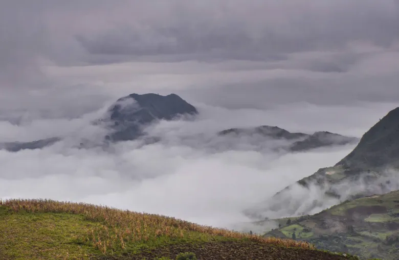
Best Time to Visit Ethiopia
Ethiopia Packing List