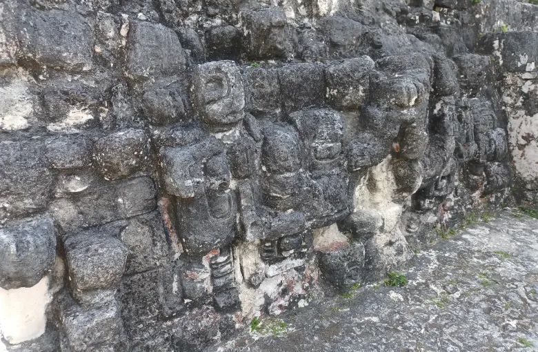
Quirigua was inscribed in 1981, recording the eighth century monuments and carved stelae of a site abandoned in the ninth century, and its outstanding record of Maya sculpture. The park is small. The sculpture is not.
Why the stones are the point
Quirigua sits in the lower Motagua valley on a bed of sandstone, which splits into enormous single blocks and carves finely. Its rulers used that: the stelae here are the tallest ever raised in the Maya world, one of them standing more than ten meters above the plaza, and they are dated and inscribed in a sequence that reads like a public record.
The zoomorphs are the other thing to come for. Instead of a standing shaft, these are great boulders worked all over into composite creatures with rulers emerging from their jaws, and they are among the most technically ambitious objects the Maya produced.
The eighth century, briefly
Quirigua had been subordinate to a larger kingdom downriver. In 738 its ruler captured and sacrificed that kingdom's king, and the monuments that follow are the sculpture of a small city announcing its independence at a scale far beyond its size. The site was abandoned within about a century and a half.
Visiting
- About two hours is right. The monuments stand under timber shelters around one open plaza and the whole circuit is flat and short.
- It sits off the highway between Guatemala City and the Caribbean coast, which makes it a natural stop on the way to the Rio Dulce and Livingston rather than a destination in itself.
- Hot, humid and low lying. Repellent, water and a hat, and go early if the day allows.
- There are few facilities. Bring what you need.
You will very likely have the plaza largely to yourself, which is a strange thing to be able to say about a World Heritage property and is one of the better arguments for going.
Combining it
The obvious route is Guatemala City or Antigua to Quirigua, then on to the Rio Dulce and down to the Caribbean coast, which is where the Garifuna coast guide picks up. The road is a main highway and the drive is straightforward; the transportation guide covers the options.
The valley is in Izabal, which the cited health source names among the departments where malaria transmission is recorded. See the travel safety guide.
Sources
- UNESCO World Heritage Centre: Archaeological Park and Ruins of Quirigua, inscribed 1981, recording the eighth century monuments and carved stelae of a site abandoned in the ninth century and its outstanding record of Maya sculpture. Accessed 17 September 2026.
- UNESCO World Heritage Centre: Guatemala States Party record: four properties inscribed on the World Heritage List, three cultural and one mixed, together with a tentative list of twenty two further sites that includes the protected area of Lake Atitlan. Accessed 17 September 2026.
- Centers for Disease Control and Prevention: Guatemala traveler health: the yellow fever vaccine recorded as not recommended, not required for direct travel from the United States, and required for travelers aged one year and over arriving from a country with transmission risk including airport transits or layovers of more than twelve hours; malaria transmission primarily in the departments of Alta Verapaz, Baja Verapaz, Escuintla, Izabal and Peten with few cases reported elsewhere, no transmission in the cities of Antigua or Guatemala City, and no transmission at Lake Atitlan. Accessed 17 September 2026.
Other Articles
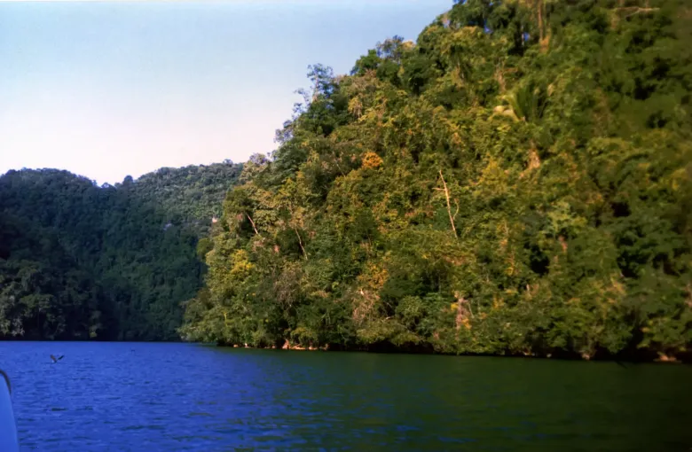
The Garifuna Caribbean Coast
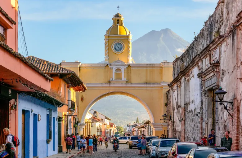
Antigua Guatemala