The quick answer
Zambia is large, landlocked and thinly populated, and its attractions are a long way apart. Most visitors move between them by light aircraft, with road transfers at either end. Overland travel is entirely possible and takes real time.
The airports that matter
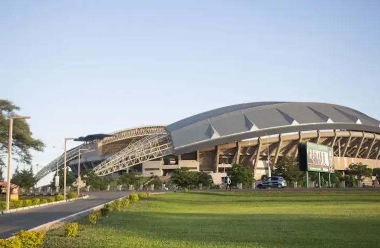
- Lusaka — Kenneth Kaunda International Airport (LUN). The main international gateway and the hub for domestic connections.
- Livingstone — Harry Mwaanga Nkumbula International Airport (LVI). The airport for Victoria Falls on the Zambian side, a short drive from the falls themselves.
- Mfuwe (MFU). The gateway to South Luangwa, and the reason a park that feels remote is reachable in a morning.
Lower Zambezi camps are generally reached by air to a bush airstrip, then by road and often by boat.
Light aircraft
Scheduled and charter light-aircraft services are the practical way to link the parks. They are also the reason your luggage allowance is small and your bag must be soft-sided — see the Zambia packing list. Flights are frequently timed around camp changeovers, which is why an itinerary may look oddly paced until you see the flight schedule behind it.
Expect to be weighed with your bag. It is routine, and it is a safety calculation rather than a comment.
Roads and self-driving
The main highways linking Lusaka, Livingstone and the Copperbelt are surfaced and generally straightforward. Away from them, conditions vary enormously and deteriorate in the rains; park roads in particular can be impassable in the wet season, which is why camps close.
Self-drive is a genuine option for experienced travelers with the right vehicle, and it is a serious undertaking rather than a convenience. Distances are long, fuel stations are far apart, and recovery is slow if something goes wrong.
Avoid driving at night outside towns. Unlit vehicles, pedestrians, livestock and wildlife on unfenced roads make it the single riskiest ordinary thing a visitor can do here.
Intercity coaches and minibuses
Long-distance coaches connect the major towns and are how most Zambians travel between cities. They are inexpensive and can be comfortable on the better operators. Journey times are long, and schedules are approximate rather than exact. Shared minibuses cover shorter routes and fill before they leave rather than departing at a set time.
The TAZARA railway
The Tanzania–Zambia Railway runs from Kapiri Mposhi in Zambia to Dar es Salaam on the Tanzanian coast. It is a slow, sociable, sometimes unpredictable journey through country you would otherwise never see, and it is one of the more remarkable rail trips in Africa. It is a journey undertaken for its own sake, not a way of saving time.
Crossing to the neighbors
Zambia borders eight countries and several crossings matter for travelers:
- Victoria Falls Bridge to Zimbabwe, immediately at the falls — walkable, and the reason the KAZA UNIVISA is worth asking about (see visa and entry requirements).
- Kazungula Bridge to Botswana, opened in 2021, which replaced the long-standing ferry across the Zambezi and made the road link to Botswana and onward to Namibia far more practical. It is directly relevant to anyone combining the three countries.
Every crossing has its own procedures, and border posts keep their own hours.
Getting around town
In Lusaka and Livingstone, arrange transfers through your hotel or use a recognized taxi or ride-hailing service rather than an unmarked car. Agree the fare before setting off if you are not using an app.
Planning with LABUSA Travel
We build Zambian itineraries around the flight schedule rather than against it, and we will tell you honestly when a road transfer is the better answer — and when a long drive is going to cost you a day you would rather spend in the park.
Other Articles
Best Time to Visit Zambia
Accessible Travel in Zambia