
The quick answer
Namibia is the one country in this region where most visitors drive themselves, and it is set up for it: good tarred trunk roads, a vast well-maintained gravel network, clear signage, and very little traffic. It is also where visitors most often get hurt, for exactly the same reasons.
⚠ Gravel roads are the single biggest risk of a Namibia trip
This is not a caution to skim. Most serious injuries to visitors in Namibia happen in single-vehicle rollovers on gravel, and they follow a pattern:
- Slow down. Gravel is not tarmac at a lower grip; it behaves differently. Most operators advise around 80 km/h as a maximum and less on corrugations. The roads are empty and straight, which is precisely what tempts people to drive them at highway speed.
- Do not oversteer. If the back steps out, ease off — a sharp correction is what turns a slide into a roll.
- Check tire pressures and lower them slightly for gravel if your rental company advises it. Punctures are routine; know where the spare and jack are before you need them.
- Never drive at night outside towns. Kudu and warthog on unfenced roads, and a kudu through a windscreen is a fatal accident.
- Slow right down when meeting another vehicle — flying stones break windscreens, and it is the commonest damage claim in the country.
Take the rental company's briefing seriously. It exists because of the statistics.
What vehicle
A 2WD sedan handles the main tarred and good gravel routes in the dry season. A 4x4, usually a double-cab with rooftop tents, is what you want for deep sand, remote tracks, Kaokoland or the Zambezi region, and for any camping itinerary. Check whether your insurance covers tires, windscreen and undercarriage — frequently it does not, and those are the three things that actually happen.
The distances are the itinerary
Windhoek to Sossusvlei, Sossusvlei to Swakopmund, Swakopmund to Etosha: each is most of a driving day, on roads where you should not hurry. Namibia's map looks manageable and drives long. Plan fewer stops and longer stays; the country punishes an ambitious route more than an unambitious one.
Flying instead
Fly-in safaris are the alternative, and in Namibia they are genuinely transformative rather than merely faster: the aerial view of the dune sea, the Skeleton Coast and the Fish River Canyon is one of the best things the country offers. Light aircraft link the lodges, with the usual soft-bag luggage limits. It costs considerably more than driving and it buys back days.
Airports and public transport
Hosea Kutako International (WDH) serves Windhoek from about 45 km outside the city; Eros (ERS), in town, handles most light-aircraft departures. Walvis Bay (WVB) serves the coast.
Intercity coaches connect the main towns and shared combis cover shorter routes, but public transport does not reach the parks and dunes, which is why self-drive and fly-in dominate.
Fuel
Stations are attended, and in remote areas may be cash-only or out of stock. Fill up whenever you pass a station on a long route rather than when the gauge tells you to, and carry cash for fuel. See our money guide.
Planning with LABUSA Travel
We will tell you honestly whether your route wants a self-drive, a guided drive or a fly-in — and if you have never driven gravel, we will say so rather than hand you keys.
Other Articles
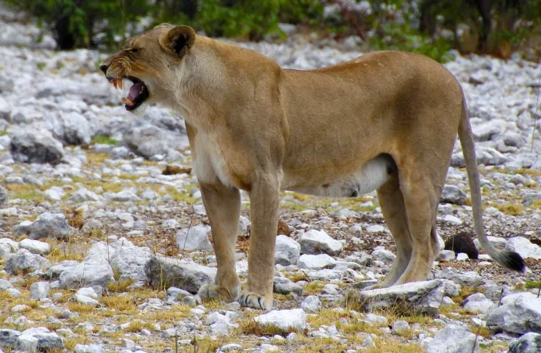
Namibia Travel Safety Guide
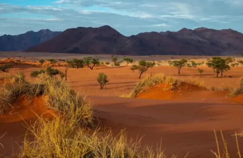
Best Time to Visit Namibia
