The quick answer
Costa Rica is small and vertically extreme, so the useful unit is not the country but the region and the altitude. You can leave a hot Pacific beach in the morning, be cold in cloud forest by lunch and be in warm rain on the Caribbean by evening, and none of those is unusual weather.
What actually drives it
Two things. The mountain spine, which splits the country into a Pacific side and a Caribbean side that do not share a season. And elevation, which drops the temperature steadily as you climb, so that the difference between the coast and the highlands is larger than the difference between seasons.
The Instituto Meteorológico Nacional divides the country into climate regions and forecasts them separately. If you are checking the weather for a trip, check the region rather than the country.
Region by region
The Central Valley
Where San José, Alajuela, Heredia and Cartago sit, and where most visitors land. High enough to be temperate rather than tropical: warm days, cool evenings, and a genuine chill in Cartago and on the slopes above it. Rain in the green season arrives mostly in the afternoon. Many buildings have no heating and none have air conditioning, because for most of the year neither is needed.
The North Pacific and Guanacaste
The hottest and driest part of the country. In the dry season this is a landscape of brown hills and leafless trees that greens dramatically within days of the first rains. Sun protection here is not optional, and the heat in March and April is serious.
The Central and South Pacific
Wetter and more humid than Guanacaste, and increasingly so as you go south. The Osa Peninsula is one of the wettest inhabited parts of the country and is rainforest in the fullest sense.
The Caribbean
Warm, humid and green all year, with rain possible in any month and no dry season of the kind the Pacific has. Its lulls fall around September and October, and to a lesser extent February and March. Expect the sea to be warmer and the air heavier than on the Pacific.
The highlands and Monteverde
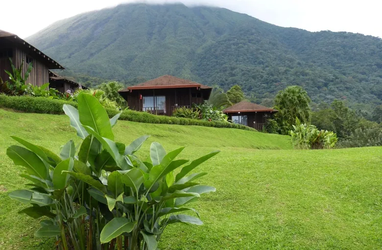
Cool, often wet, and frequently inside the cloud rather than under it. Cerro de la Muerte and the Talamanca highlands get genuinely cold, and frost is possible at the top. Visitors regularly arrive in the cloud forest dressed for a tropical holiday and spend the day uncomfortable.
What the green season is actually like
In most of the Pacific and the Central Valley, for most of the green season, a normal day is bright until the early afternoon and then wet for a couple of hours. You plan around it rather than against it: outdoor activity in the morning, something covered after lunch. September and October are the months when this pattern breaks down and rain can settle in for a day.
Sun, heat and humidity
Costa Rica sits close to the equator and the sun is stronger than its temperature suggests, particularly at altitude and on the water, where people are most often caught out. Humidity on both coasts makes heat harder to shed, so drink more than you think you need, plan the hardest walking for the morning, and treat shade as a resource rather than a preference.
When the weather affects the plan
Unpaved roads soften, rivers rise, and trails and park sectors close, sometimes at short notice and always at SINAC’s discretion rather than a guide’s. Volcano access is separately controlled and can be restricted for reasons that have nothing to do with the weather. A green season itinerary should carry slightly more slack and slightly fewer moves than a dry season one.
Planning with LABUSA Travel
We will tell you what your regions usually do in your month, and where an itinerary is tight enough that one wet day would break it.
Sources
- Instituto Meteorológico Nacional: the national weather service, including regional forecasts and the seasonal outlook for each climate region. Accessed 11 August 2026.
- US Centers for Disease Control and Prevention: Travelers’ Health, Costa Rica: vaccination, mosquito-borne illness and food and water guidance. Accessed 11 August 2026.
- SINAC, Sistema Nacional de Áreas de Conservación: the national protected-area system, which sets opening arrangements, capacity limits and access rules for every national park. Accessed 11 August 2026.
Other Articles
Best Time to Visit Costa Rica
Costa Rica Packing List